Guidelines for Battlegrounds Trail Travelers
The entire 150-kilometer-long trail can be traveled by car or bus during the summer.
GRAVEL ROADS:
The stretch of Kuolismaa road from Möhkö to the border is cleared of snow in winter.
From the border zone barrier, the trail continues toward the north as a logging road surfaced with heavy gravel. This route is not maintained in winter. Avoid driving on this road during the frost heave period in the spring.
The road between Hattuvaara and East Point has a gravel surface, and it is not cleared all the way in wintertime. This road should also be avoided during frost heave.
PAVED ROADS:
The roads from Ilomantsi to Hattuvaara and Möhkö are paved and in good condition.
REST AREAS:
Restrooms and fire pits are available at Öykkösenvaara visitor center and East Point. Several coffee shops offer their services in Ilomantsi town. Summertime cafeterias are available at Petkeljärvi and Hattuvaara.
Petkeljärvi National Park
Combatant´s House at Hattuvaara
Schedule planning
The total length of the Battlegrounds Trail is 150 kilometers. If you wish to visit all sites along the trail, allow three hours just for driving, depending on vehicle type and weather conditions. The distance from Hattuvaara to East Point is 18 kilometers.
Detailed examination of every information board and memorial is not needed for a good overall picture of the wartime history of Ilomantsi, nor is it necessary to make a full tour of the footpath network.
The maps, information boards and photographs at Öykkösenvaara visitor center contain plentiful information of the major battles of the summer 1944, while all important battle sites of the Winter War are shown on a map on the memorial site at Palovaara.
Link to Battlegrounds Trail Map
Visit Ilomantsi call centre is open all year round
+358 50 337 7379
info@visitilomantsi.fi
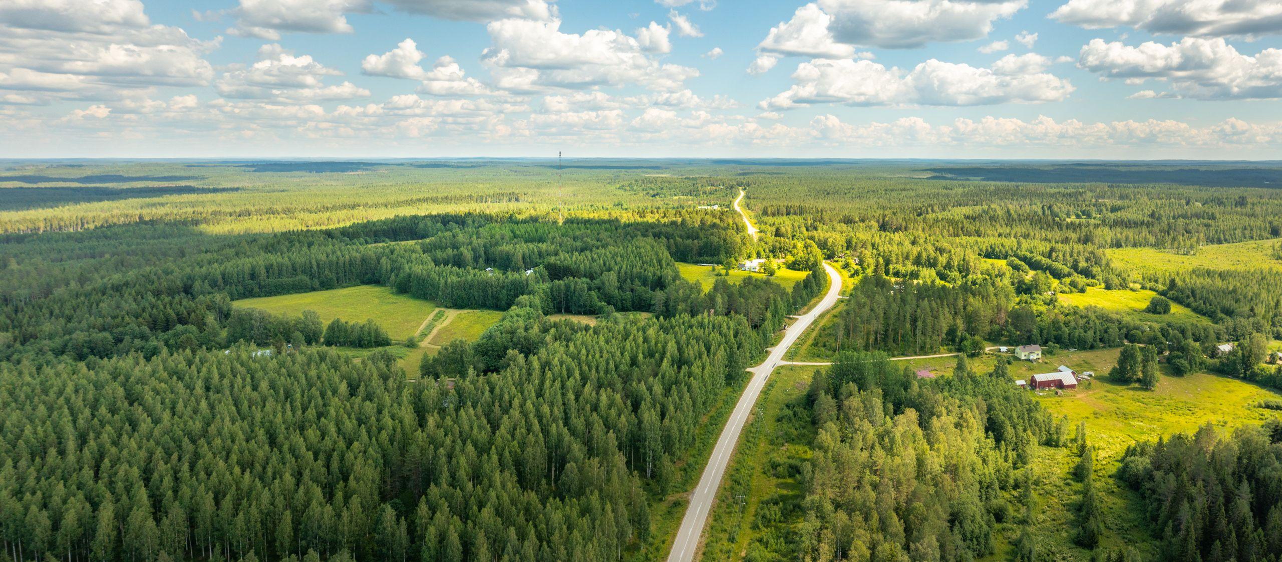
Ilomantsi - Hattuvaara road is paved.